ACTIONABLE AERIAL INTELLIGENCE

SERVICES
Innovative Passion
Our vision for professional services is the integration of new technologies and procedures utilizing remotely piloted aerial systems and geomatics to supply clients with timely and cost-effective solutions.
With an entrepreneurial spirit, a love of aviation, surveying and being in the great outdoors 43 Degrees North can bring a great wealth of enthusiasm and focus to any operation. Having operated from remote to the most dense urban environment, 43 Degrees North has greatly enjoyed meeting and collaborating with people and teams on joint missions, always eager to contribute and open to learning. Being able to view the world from above provides insight to the big picture and also lets you drill down to focus on the small integral pieces that make it happen.
Having been involved in all operational aspects, 43 Degrees North understands that many contributors are required to create an amazing product, and that every team member is integral to a successful product and service.
RPAS Ground School & Flight Review
Book a seat at our ground school or book your flight review
I have often said that the lure of flying is the lure of beauty.
- Amelia Earhart
About
Our surveying roots were established in 1986 progressing from traditional land surveying to aerial surveying.
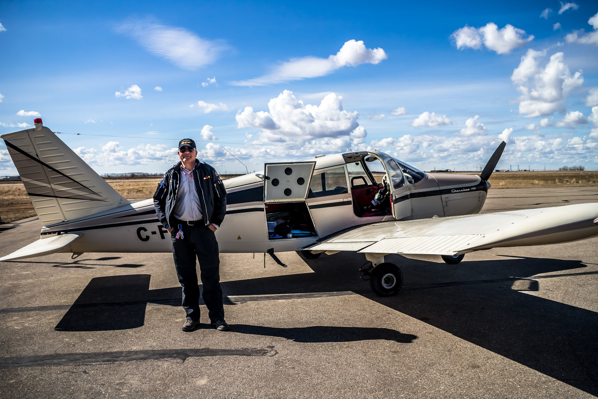
Beginning a surveying career in Ontario Canada, Thomas Hoppe, B.Tech., OLS has lived and worked in multiple locations in North America while holding multiple roles from Professional Surveyor, Technical Trainer, Technical Support, Aerial Survey Manager, and UAV Pilot.
Currently located in Lake Country British Columbia, Thomas provides land and aerial survey services throughout Canada. Holding an RPAS Pilot Certificate - Advanced and a Flight Reviewer rating, Thomas provides UAV aerial surveys, contract UAV pilot, processing of UAV/GNSS data and training services to multiple clients.
Location
Lake Country, BC
Serving western canada and beyond